
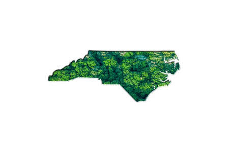
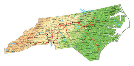
Green Forest Map of North Carolina, on white background
Коллекция по умолчанию
Коллекция по умолчанию
Создать новую
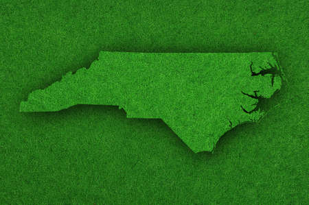
Map of North Carolina on green felt
Коллекция по умолчанию
Коллекция по умолчанию
Создать новую
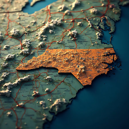
Orange North Carolina state map is featured on a textured topographic terrain map with red roads and muted colors creating a detailed geographical illustration suitable for travel and educational content.
Коллекция по умолчанию
Коллекция по умолчанию
Создать новую

WROCLAW, POLAND - MARCH 28, 2020: Word CORONAVIRUS made of wooden letters, and North Carolina Flag in the background. Coronavirus (COVID-19) global disease 2020.
Коллекция по умолчанию
Коллекция по умолчанию
Создать новую
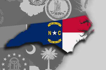
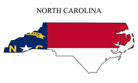
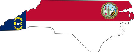
Illustration of the State of North Carolina silhouette map and flag. Its a JPG image.
Коллекция по умолчанию
Коллекция по умолчанию
Создать новую
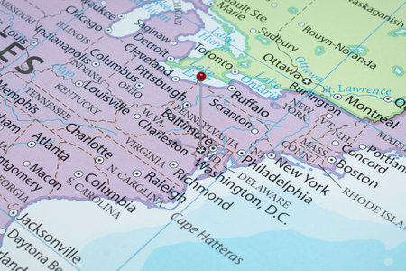
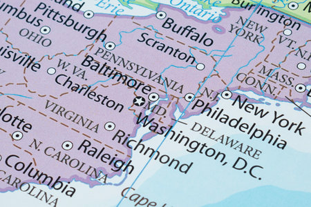
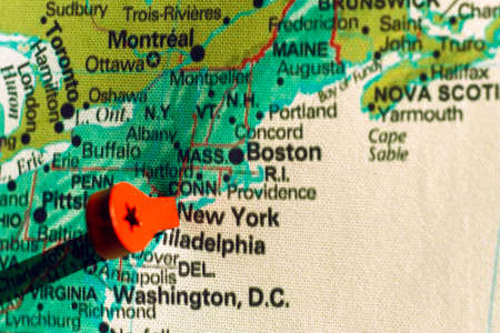
Close up to a Washington DC city with a red pin needle into United States of America country political map
Коллекция по умолчанию
Коллекция по умолчанию
Создать новую
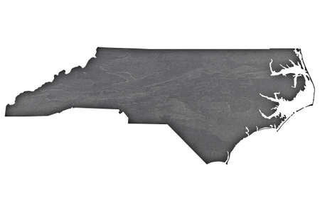
Map of North Carolina on dark slate
Коллекция по умолчанию
Коллекция по умолчанию
Создать новую

Push Pin in Atlanta, Georgia - Map is Copyright Free Off a Government Website
Коллекция по умолчанию
Коллекция по умолчанию
Создать новую
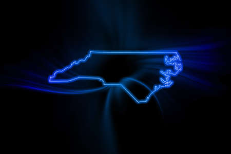
Glowing Map of North Carolina, modern blue outline map, on dark Background
Коллекция по умолчанию
Коллекция по умолчанию
Создать новую
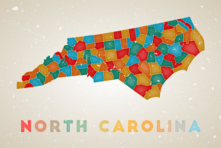
North Carolina map. Us state poster with colored regions. Old grunge texture. Vector illustration of North Carolina with us state name.
Коллекция по умолчанию
Коллекция по умолчанию
Создать новую
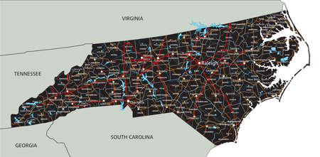
High detailed North Carolina road map with labeling.
Коллекция по умолчанию
Коллекция по умолчанию
Создать новую
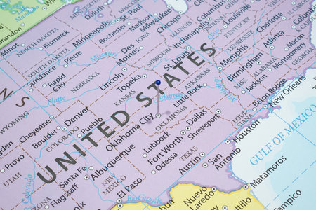
Detailed usa map pinpointing key election areas for analytical thorough review and in depth analysis
Коллекция по умолчанию
Коллекция по умолчанию
Создать новую

personal planner notes of a traveller planning a trip to United States of America over a closeup map of USA.
Коллекция по умолчанию
Коллекция по умолчанию
Создать новую
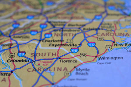
Close-up view on the road map around the state of south carolina, USA, photo taken in Italy June 2020
Коллекция по умолчанию
Коллекция по умолчанию
Создать новую
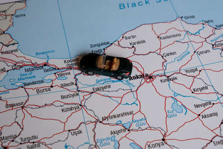
A miniature car on a map.
Коллекция по умолчанию
Коллекция по умолчанию
Создать новую
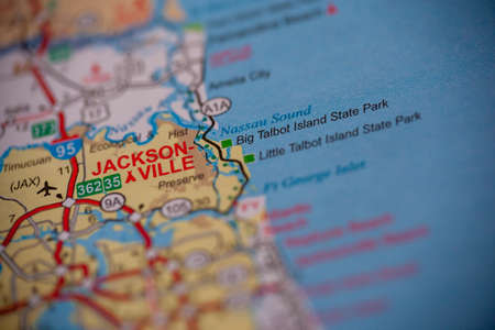
WOODBRIDGE, NEW JERSEY - July 13, 2020: A map of Florida is shown with a focus on Jacksonville
Коллекция по умолчанию
Коллекция по умолчанию
Создать новую
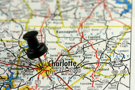
Charlotte, North Carolina. Push pin on an old map showing travel destination.
Коллекция по умолчанию
Коллекция по умолчанию
Создать новую
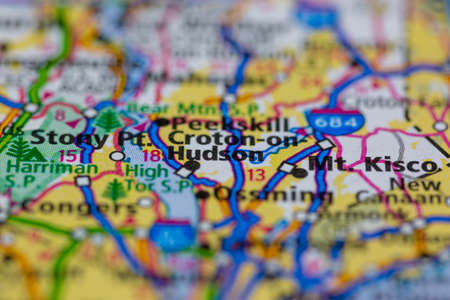
05-24-2021 Portsmouth, Hampshire, UK, Croton-on-Hudson New York USA Shown on a Geography map or road map
Коллекция по умолчанию
Коллекция по умолчанию
Создать новую
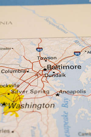
Macro photography of Maryland state of United States of america political map with most important cities and borders
Коллекция по умолчанию
Коллекция по умолчанию
Создать новую
North Carolina map vector illustration. Global economy. State in America. North America. United States. America. U.S.A
Коллекция по умолчанию
Коллекция по умолчанию
Создать новую

Blue rosette textured seal and lowpoly North Carolina State map mosaic in green colors. Triangulated North Carolina State map polygonal 2d illustration, and textured blue seal print.
Коллекция по умолчанию
Коллекция по умолчанию
Создать новую
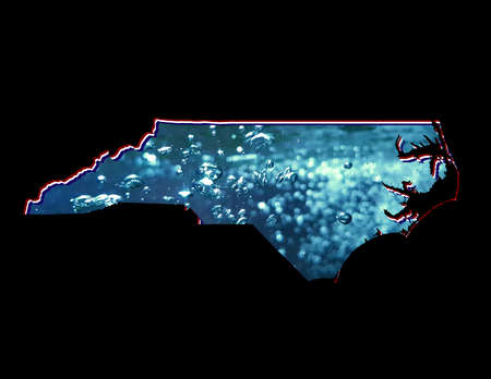
map of North Carolina state with moving water image and black background
Коллекция по умолчанию
Коллекция по умолчанию
Создать новую
Close up to a Pittsburgh city with a white pin needle into United States of America country political map
Коллекция по умолчанию
Коллекция по умолчанию
Создать новую
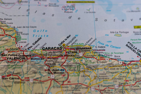
Caracas, Venezuela, on a road map
Коллекция по умолчанию
Коллекция по умолчанию
Создать новую
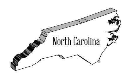
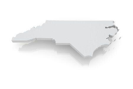
Outline 3D map of the state of North Carolina
Коллекция по умолчанию
Коллекция по умолчанию
Создать новую
Map of North Carolina, a province of United States.
Коллекция по умолчанию
Коллекция по умолчанию
Создать новую
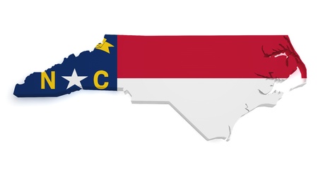
Shape 3d of North Carolina map with flag isolated on white background
Коллекция по умолчанию
Коллекция по умолчанию
Создать новую
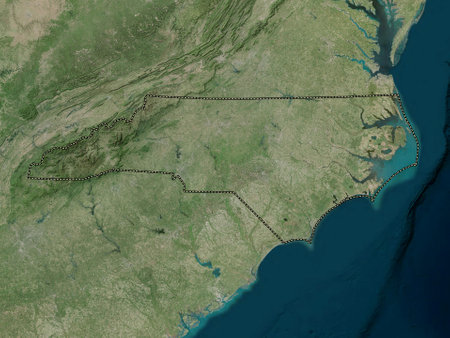
North Carolina, state of United States of America. High resolution satellite maps
Коллекция по умолчанию
Коллекция по умолчанию
Создать новую
Three-dimensional map of North Carolina. USA. 3d
Коллекция по умолчанию
Коллекция по умолчанию
Создать новую
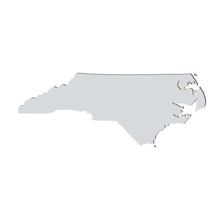
Map of the U.S. state of North Carolina on a white background
Коллекция по умолчанию
Коллекция по умолчанию
Создать новую

Explore the world concept closeup detail
Коллекция по умолчанию
Коллекция по умолчанию
Создать новую
05-24-2021 Portsmouth, Hampshire, UK, Cedarvale New Mexico USA shown on a Geography map or road ma
Коллекция по умолчанию
Коллекция по умолчанию
Создать новую

United States, East Coast Washington. Coronavirus COVID-19 global cases Map. Red Dot showing the number of infected. Johns Hopkins University map on monitor display.
Коллекция по умолчанию
Коллекция по умолчанию
Создать новую
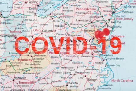
Red clerical arrow on the map of the United States, with the inscription COVID-19 southern Washington, DC and the capital of Richmond. Coronavirus 2019-outbreak, 2020 pandemic.
Коллекция по умолчанию
Коллекция по умолчанию
Создать новую
marker on the map near New York
Коллекция по умолчанию
Коллекция по умолчанию
Создать новую
Map of North Carolina State USA
Коллекция по умолчанию
Коллекция по умолчанию
Создать новую
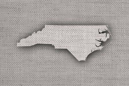
Map of North Carolina on old linen
Коллекция по умолчанию
Коллекция по умолчанию
Создать новую

usa close up on map, america country.
Коллекция по умолчанию
Коллекция по умолчанию
Создать новую
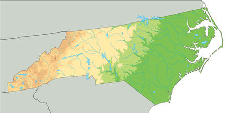
High detailed North Carolina physical map.
Коллекция по умолчанию
Коллекция по умолчанию
Создать новую
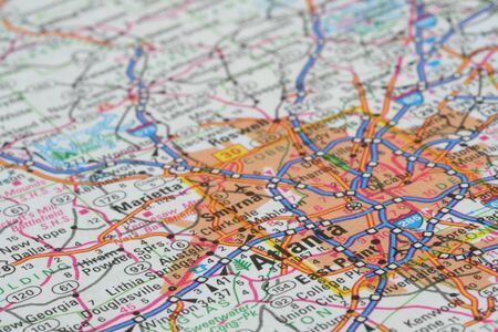
Map of Atlanta
Коллекция по умолчанию
Коллекция по умолчанию
Создать новую

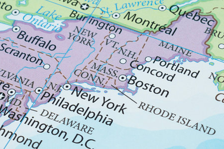
Macro shot of the east coast of the United States of America.
Коллекция по умолчанию
Коллекция по умолчанию
Создать новую
North Carolina state blank vector outline map set
Коллекция по умолчанию
Коллекция по умолчанию
Создать новую
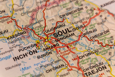
Seoul, capital of South Korea on a road map
Коллекция по умолчанию
Коллекция по умолчанию
Создать новую
Map of the city of Prague, Czech Republic. Selective focus.
Коллекция по умолчанию
Коллекция по умолчанию
Создать новую
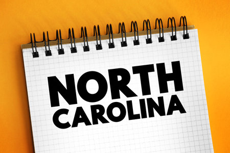
North Carolina is a state in the Southeastern and Mid-Atlantic regions of the United States, text concept on notepad
Коллекция по умолчанию
Коллекция по умолчанию
Создать новую
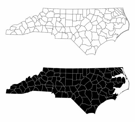
The black and white North Carolina State County Maps
Коллекция по умолчанию
Коллекция по умолчанию
Создать новую
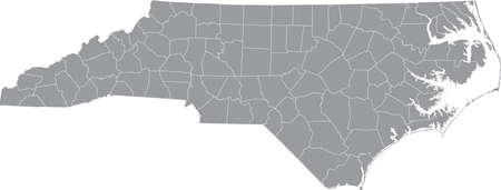
Gray vector administrative map of the Federal State of North Carolina, USA with white borders of its counties
Коллекция по умолчанию
Коллекция по умолчанию
Создать новую

Map Closeup of Washington, DC with Push Pin marking the city
Коллекция по умолчанию
Коллекция по умолчанию
Создать новую
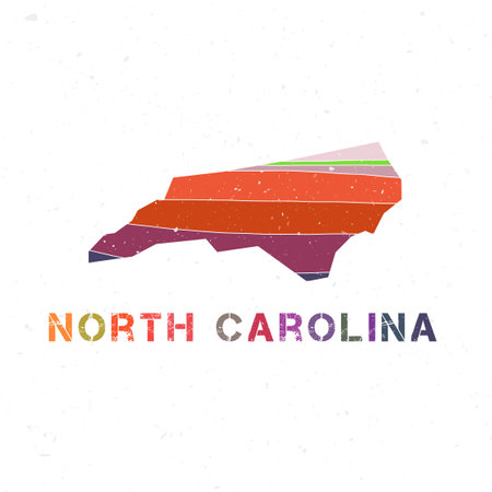
North Carolina map design. Shape of the us state with beautiful geometric waves and grunge texture. Awesome vector illustration.
Коллекция по умолчанию
Коллекция по умолчанию
Создать новую

An ancient map of Australia hanging in a classroom
Коллекция по умолчанию
Коллекция по умолчанию
Создать новую
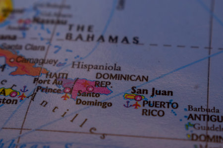
San Juan On The World Map-Geo Political Map
Коллекция по умолчанию
Коллекция по умолчанию
Создать новую
Map
Коллекция по умолчанию
Коллекция по умолчанию
Создать новую
High detailed North Carolina physical map with labeling.
Коллекция по умолчанию
Коллекция по умолчанию
Создать новую

Vector illustration map North Carolina is one of the states of America isolated on a white backgroundŒ
Коллекция по умолчанию
Коллекция по умолчанию
Создать новую
North America map with pink pushpin on Kansas, showing U.S. states, Canada to the north, and Mexico to the south.
Коллекция по умолчанию
Коллекция по умолчанию
Создать новую
view of Rochester, New York, United States, on a geographic map of America, marked with a red pin
Коллекция по умолчанию
Коллекция по умолчанию
Создать новую
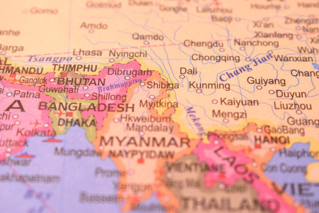
Political Map of Kunming City OF China With Neighboring Cities Or Countries Image
Коллекция по умолчанию
Коллекция по умолчанию
Создать новую
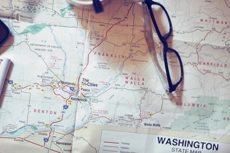
Map, map of Washington state, pen, glasses, cell phone, coffee cup on the table.
Коллекция по умолчанию
Коллекция по умолчанию
Создать новую

Closeup Selective Focus Of West Virginia State On A Geographical And Political State Map Of The USA.
Коллекция по умолчанию
Коллекция по умолчанию
Создать новую
Ship
Коллекция по умолчанию
Коллекция по умолчанию
Создать новую

United States, East Coast, New York, . Coronavirus COVID-19 global cases Map. Red Dot showing the number of infected. Johns Hopkins University map on monitor display.
Коллекция по умолчанию
Коллекция по умолчанию
Создать новую
Close-up view on the map of the roads and territories of Northern Greenland, photo taken in Italy, January 2020
Коллекция по умолчанию
Коллекция по умолчанию
Создать новую
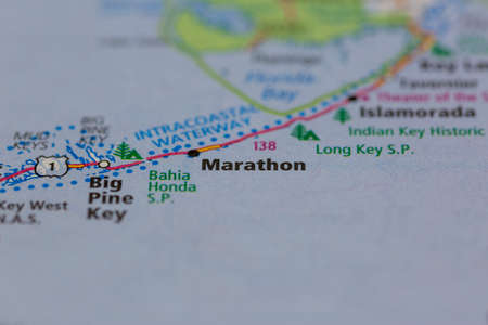
04-30-2021 Portsmouth, Hampshire, UK, Marathon Florida USA Shown on a geography map or road map
Коллекция по умолчанию
Коллекция по умолчанию
Создать новую
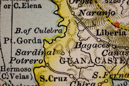
Selective focus of vintage map of the Liberia and Guanacaste region of Costa Rica. Originally dated 1897 and 1902.
Коллекция по умолчанию
Коллекция по умолчанию
Создать новую
big city view. illustration of the card in a casual graphic design. fragment Mumbai 3d render
Коллекция по умолчанию
Коллекция по умолчанию
Создать новую
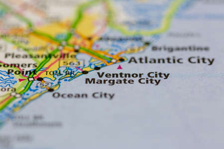
05-24-2021 Portsmouth, Hampshire, UK, Ventnor City New Jersey USA shown on a Geography map or road map
Коллекция по умолчанию
Коллекция по умолчанию
Создать новую

04-30-2021 Portsmouth, Hampshire, UK, Port Jefferson Long island USA Shown on a geography map or road map
Коллекция по умолчанию
Коллекция по умолчанию
Создать новую

Map of Swansea through magnifying glass, UK
Коллекция по умолчанию
Коллекция по умолчанию
Создать новую
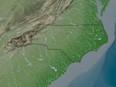
North Carolina, state of United States of America. Elevation map colored in wiki style with lakes and rivers
Коллекция по умолчанию
Коллекция по умолчанию
Создать новую
Map of DC - Map is Copyright Free Off a Government Website - nationalatlas.gov
Коллекция по умолчанию
Коллекция по умолчанию
Создать новую
Partial close-up of three-dimensional world topographic map
Коллекция по умолчанию
Коллекция по умолчанию
Создать новую
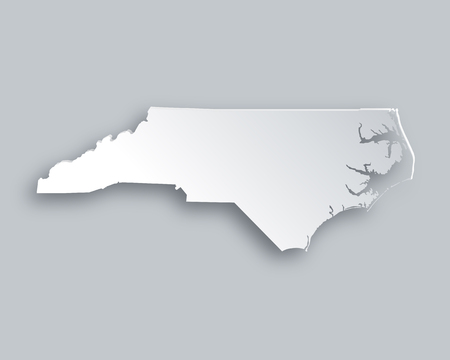
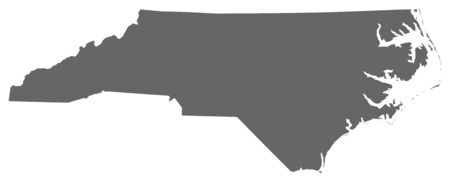
Map of North Carolina
Коллекция по умолчанию
Коллекция по умолчанию
Создать новую
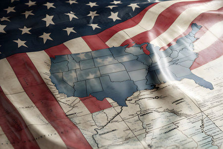
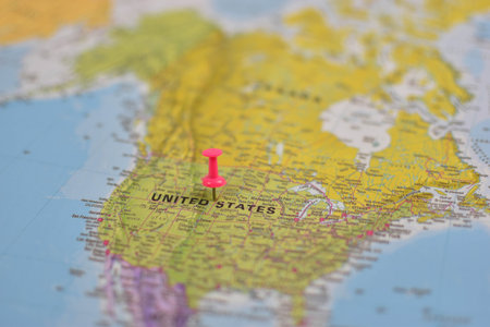
American flag with map of America and states. USA Independence Day, Memorial Day celebration, American national holiday, 4th July. Generative AI
Коллекция по умолчанию
Коллекция по умолчанию
Создать новую
Close up to an Oklahoma City with a blue pin needle into United States of America country political map
Коллекция по умолчанию
Коллекция по умолчанию
Создать новую

04-29-2021 Portsmouth, Hampshire, UK, Cherry creek California USA shown on a Geography map or road map
Коллекция по умолчанию
Коллекция по умолчанию
Создать новую
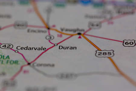
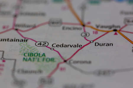
05-24-2021 Portsmouth, Hampshire, UK, Duran New Mexico USA shown on a Geography map or road ma
Коллекция по умолчанию
Коллекция по умолчанию
Создать новую
Close up to a Monterrey city with a white pin needle into United States of America country political map
Коллекция по умолчанию
Коллекция по умолчанию
Создать новую
Macro photography of Arkansas state of United States of america political map with most important cities and borders
Коллекция по умолчанию
Коллекция по умолчанию
Создать новую
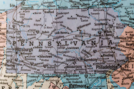
Old vintage map mounted on a wall showing the State of Pennsylvania.
Коллекция по умолчанию
Коллекция по умолчанию
Создать новую
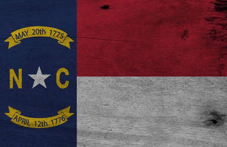
Flag of North Carolina on wooden plate background. Grunge North Carolina flag texture, The states of America.
Коллекция по умолчанию
Коллекция по умолчанию
Создать новую
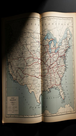
Top-down flatlay, vertical composition of a historical atlas opened to show the geographic routes ce
Коллекция по умолчанию
Коллекция по умолчанию
Создать новую
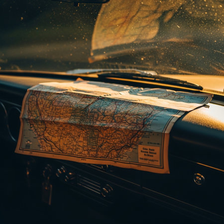
Retro styled image of a vintage car with map in the foreground
Коллекция по умолчанию
Коллекция по умолчанию
Создать новую

Map of North Carolina, silver background, map background
Коллекция по умолчанию
Коллекция по умолчанию
Создать новую
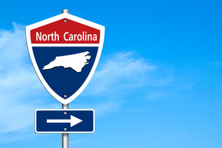
Road trip to North Calorina, Red, white and blue interstate highway road sign with word North Calorina and map of North Calorina with sky background
Коллекция по умолчанию
Коллекция по умолчанию
Создать новую

Close-Up map of Richmond, Virginia
Коллекция по умолчанию
Коллекция по умолчанию
Создать новую
Minimalist Wisconsin State Map on USA Outline - Stock Photo
Коллекция по умолчанию
Коллекция по умолчанию
Создать новую
Macro photography of Massachusetts state of United States of america political map with most important cities and borders
Коллекция по умолчанию
Коллекция по умолчанию
Создать новую
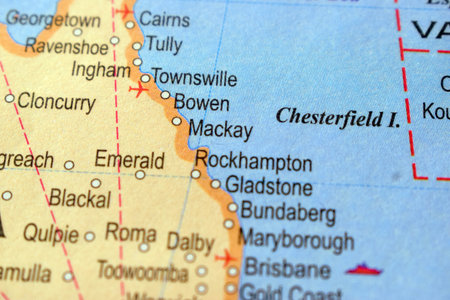
Mackay-Political Map Or Administrative Map Of Australia With Background Blur Image
Коллекция по умолчанию
Коллекция по умолчанию
Создать новую
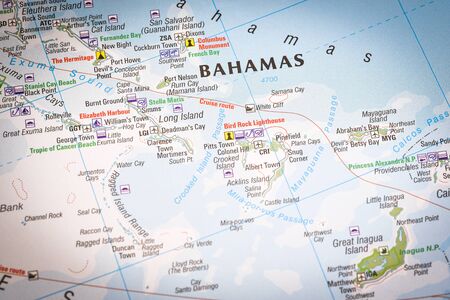
Close up of a world map with Bahamas in focus, a country within the Lucayan Archipelago in the West Indies.
Коллекция по умолчанию
Коллекция по умолчанию
Создать новую
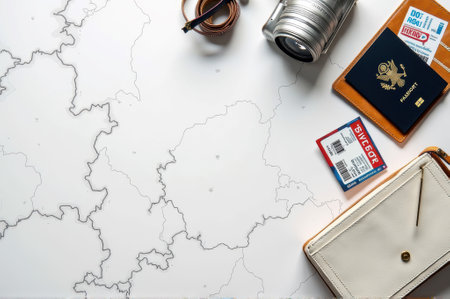
Travel essentials: map, camera, passport, tickets, wallet for adventure planning. That the image is generated using AI.
Коллекция по умолчанию
Коллекция по умолчанию
Создать новую
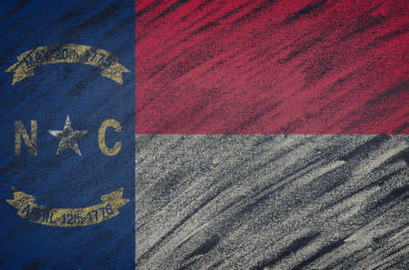
Close-up of national North Carolina state flag painted with colored chalk on a blackboard. 3D rendering
Коллекция по умолчанию
Коллекция по умолчанию
Создать новую
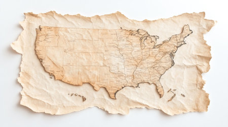
Parchment style representation of the United States displaying state lines, major cities, and geographic features, perfect for history enthusiasts and educational displays in classic environments.
Коллекция по умолчанию
Коллекция по умолчанию
Создать новую
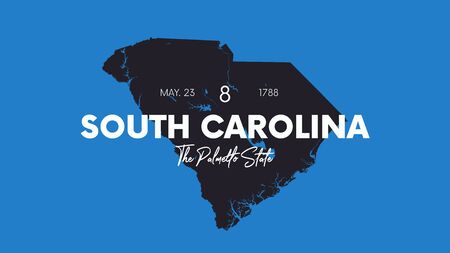
8 of 50 states of the United States with a name, nickname, and date admitted to the Union, Detailed Vector South Carolina Map for printing posters, postcards and t-shirts
Коллекция по умолчанию
Коллекция по умолчанию
Создать новую
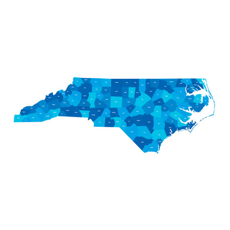
North Carolina, NC - detailed political map of US state. Administrative map divided into counties. Blue map with county name labels. Vector illustration
Коллекция по умолчанию
Коллекция по умолчанию
Создать новую
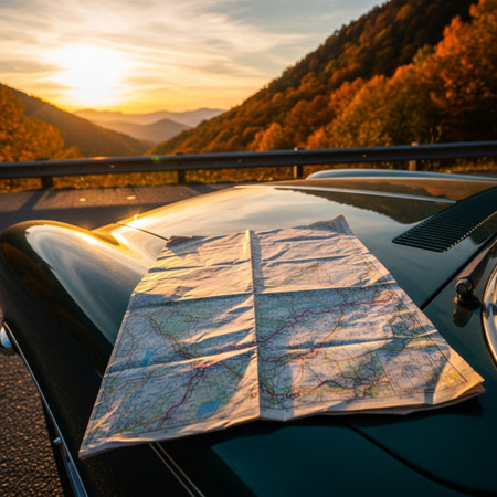
Map on the hood of a vintage car at sunset in the mountains
Коллекция по умолчанию
Коллекция по умолчанию
Создать новую
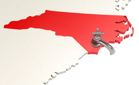
North Carolina map with water faucet, 3d rendering
Коллекция по умолчанию
Коллекция по умолчанию
Создать новую
North America map with pink pushpin on Kansas, showing U.S. states, Canada to the north, and Mexico to the south.
Коллекция по умолчанию
Коллекция по умолчанию
Создать новую
Macro photography of Georgia state of United States of america political map with most important cities and borders
Коллекция по умолчанию
Коллекция по умолчанию
Создать новую

Alabama on the map.
Коллекция по умолчанию
Коллекция по умолчанию
Создать новую
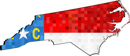
Grunge North Carolina map with flag inside - Illustration, Map of North Carolina vector, Abstract grunge mosaic flag of North Carolina
Коллекция по умолчанию
Коллекция по умолчанию
Создать новую
Legion-Media
Создайте свои проекты на основе качественных стоковых фотографий и видео.


Copyright © Legion-Media.